













Texas Border Business



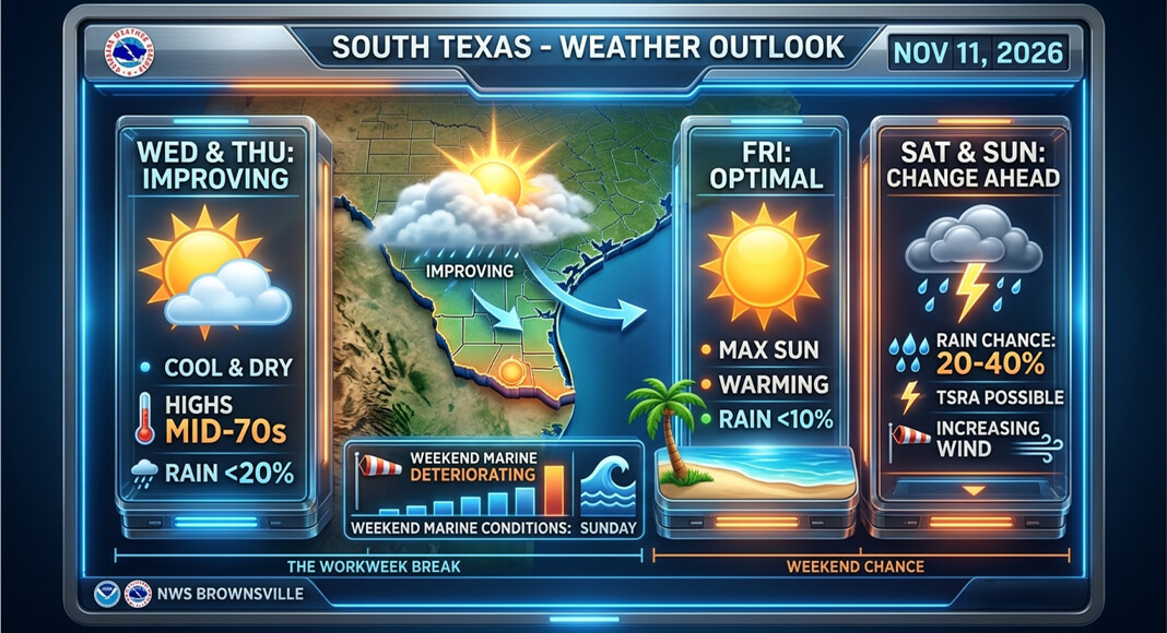
BROWNSVILLE, Texas — November 11, 2026 — The Rio Grande Valley is expected to see improving weather through the end of the workweek before another chance of rain arrives Saturday and Sunday, according to the National Weather Service (NWS) in Brownsville.
The latest forecast indicates that the widespread rain that affected portions of South Texas earlier this week is gradually moving out of the region, bringing cooler temperatures and mostly dry conditions.
Wednesday’s forecast calls for only a slight chance of lingering showers, primarily near coastal communities, including Brownsville, Port Isabel and South Padre Island.


Rain probabilities Wednesday are generally between 10% and 20% near the coast, while McAllen, Edinburg and other inland communities are expected to remain mostly dry.
Temperatures will remain slightly below seasonal averages Wednesday and Thursday, with afternoon highs generally reaching the lower to mid-70s.
Conditions are expected to improve Thursday and Friday as temperatures gradually rise and rain chances decrease across Hidalgo, Cameron, Starr and Willacy counties.
However, another weather system approaching South Texas could bring showers back to the Valley during the weekend.
According to the NWS, rain probabilities are expected to range from approximately 20% to 40% Saturday and Sunday, with some locations potentially experiencing thunderstorms.
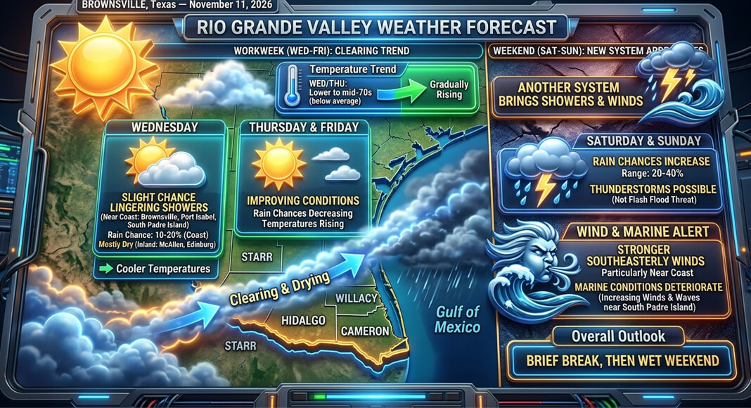
The weekend system could also produce stronger southeasterly winds, particularly near the coast, as atmospheric pressure changes ahead of another possible cold front.
The National Weather Service has indicated that marine conditions could deteriorate over the weekend, with increasing winds and waves affecting Gulf waters near South Padre Island.
Although thunderstorms are possible, the latest Brownsville forecast does not identify a widespread flash-flood threat for the Rio Grande Valley.
Residents should continue monitoring updated forecasts as the weekend approaches, particularly because the timing and coverage of rainfall may change.
The latest outlook suggests the Valley will enjoy a brief break from the recent wet weather before another chance of showers develops over the weekend.