


Texas Border Business
- Advertisement -


Texas Border Business
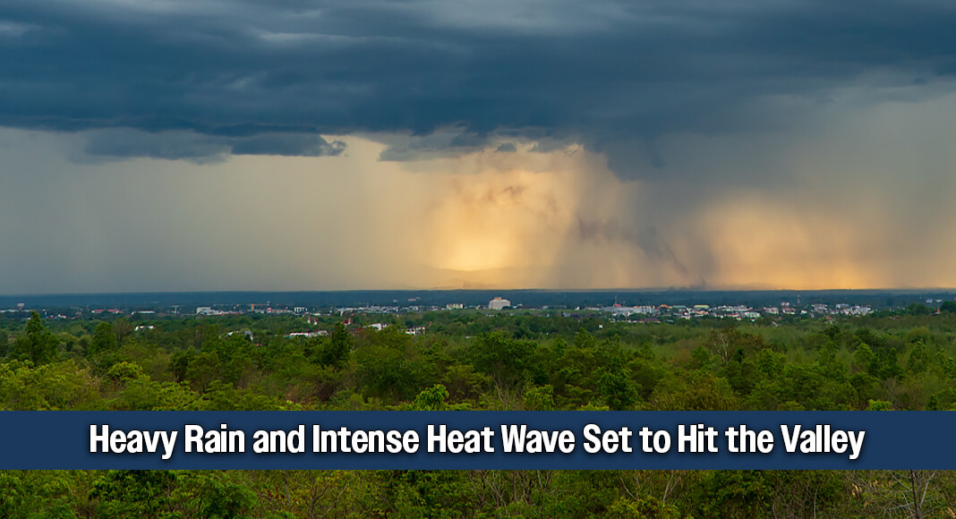
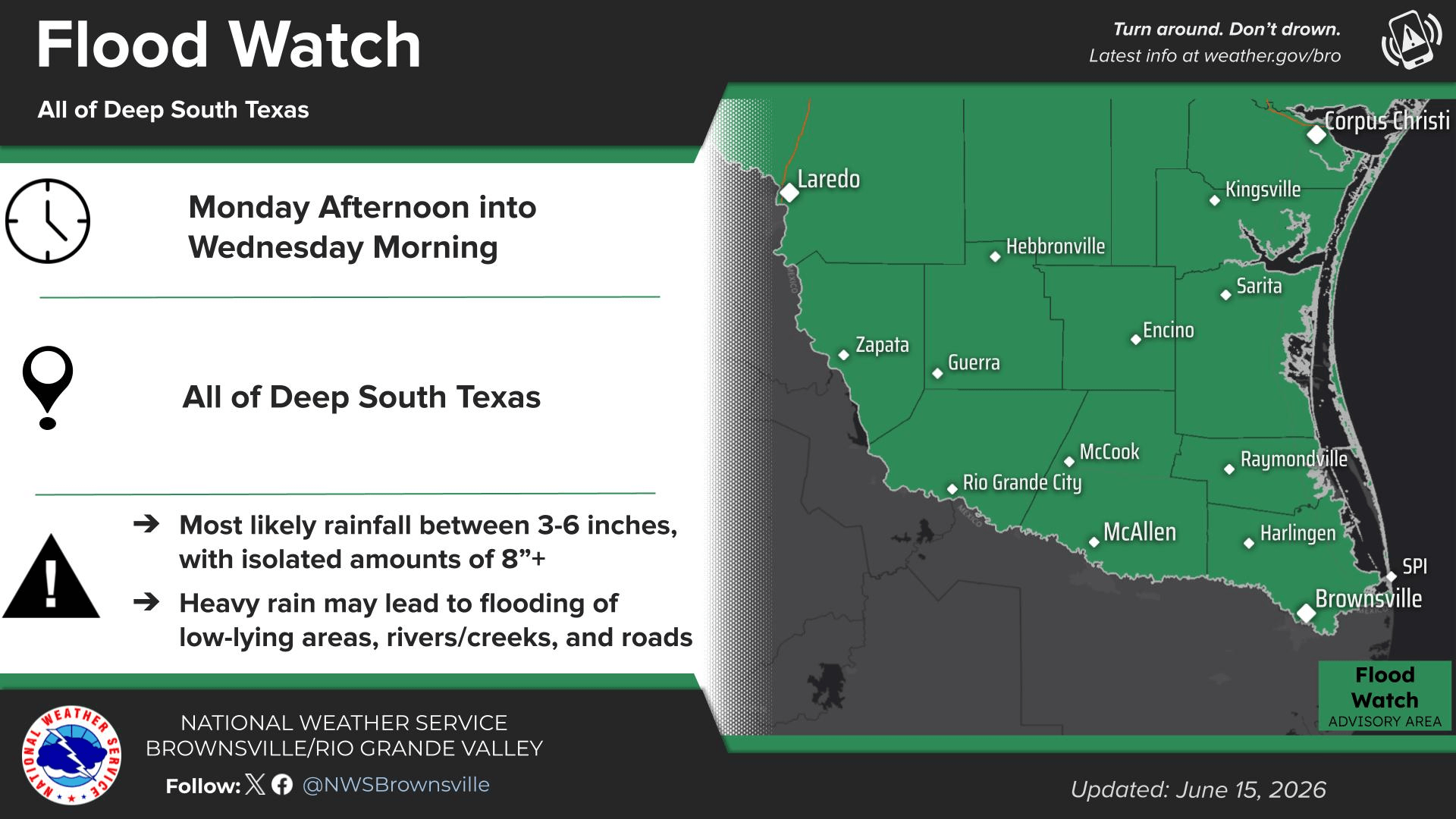
McALLEN, Texas – Residents across the Rio Grande Valley should prepare for a dramatic weather shift over the next four days. The region will transition from severe tropical thunderstorms and potential power disruptions to intense, triple-digit summer heat by mid-week.
According to regional meteorological data, the next 48 hours will bring significant moisture and active storm patterns before a high-pressure system takes hold, driving temperatures well above normal headers.
- Advertisement -


The 4-Day Forecast Breakdown:
- Monday, June 15 (Today): Heavy cloud cover will persist throughout the afternoon, keeping daytime highs near 88°F. Conditions will deteriorate rapidly into the evening and nighttime hours, bringing a 85% chance of heavy rain and severe thunderstorms. Overnight lows will hold at 76°F. Residents are urged to secure outdoor items and prepare for localized street flooding.
- Tuesday, June 16: Damp and unstable conditions continue. The region will see scattered thunderstorms during the day with a high of 88°F and a 75% chance of precipitation. Storm activity is expected to taper off into a cloudy night, with temperatures dropping to a low of 76°F.
- Wednesday, June 17: A stark weather pivot begins as the tropical system exits. Skies will clear to reveal sunny and hot conditions, sending afternoon temperatures soaring to a high of 99°F. The evening will remain clear and warm with a low of 77°F.
- Thursday, June 18: The first official triple-digit day of the week arrives. Expect blazing sunshine with an afternoon high reaching 100°F. The heat index will make it feel significantly hotter. Thursday night will stay clear and humid, with an elevated low of 81°F.
- Advertisement -