


Texas Border Business

Texas Border Business
As of mid-July 2025, there are no active tropical cyclones threatening the Rio Grande Valley (RGV) of South Texas. According to the National Hurricane Center (NHC), “no tropical cyclones are expected during the next seven days” in the Atlantic or Gulf of Mexico. However, meteorologists continue to monitor several areas of interest, including Invest 93L, which developed over the Gulf earlier this month.
While Invest 93L prompted brief concern, it remained disorganized and ultimately tracked northeast toward the Louisiana and Mississippi coasts. The Houston Chronicle reported that “heavy rains and minor flooding” were the most significant impacts in Southeast Texas, with little effect seen farther south in the RGV. The National Weather Service (NWS) in Brownsville echoed that sentiment, stating there is “no direct threat to the Lower Rio Grande Valley at this time.”

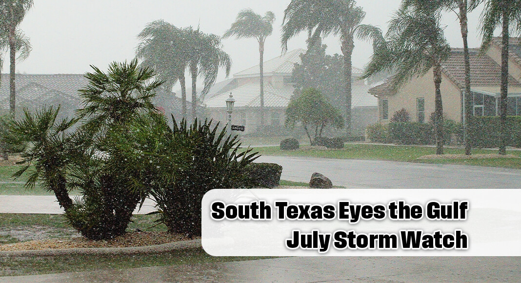
Earlier in the month, the remnants of Tropical Storm Barry did impact the region, bringing 3 to 5 inches of rain to parts of Cameron, Hidalgo, and Willacy counties. According to the NWS, Barry’s rainfall contributed to “temporary urban and agricultural flooding,” but no significant wind or storm surge issues were reported. The system dissipated shortly after landfall near the Yucatán Peninsula.
Despite this relatively quiet period, forecasters caution that July is only the beginning of a season predicted to be more active than usual. NOAA’s 2025 Atlantic Hurricane Season Outlook anticipates “13 to 19 named storms, 6 to 10 hurricanes, and 2 to 5 major hurricanes,” citing warmer-than-average sea surface temperatures in the Atlantic and Gulf. NOAA Administrator Rick Spinrad stated, “This season is shaping up to be above normal, and the Gulf Coast remains one of the most vulnerable regions.”
South Texas, and particularly the Rio Grande Valley, has a history of being affected by moisture-laden remnants even from weak or distant storms. The NWS Brownsville office warns, “It doesn’t take a hurricane to cause damage. Tropical moisture can trigger flash flooding, especially in areas with poor drainage or saturated soils.”
Local authorities continue to advise residents to prepare in advance. The 2025 RGV Hurricane Guide from the NWS outlines key recommendations, including clearing storm drains, reviewing evacuation routes, and maintaining emergency supplies. “Preparedness should begin before a storm is on the radar,” the guide emphasizes.

In the coming week, coastal South Texas is expected to see increased humidity and isolated thunderstorms as Gulf moisture moves inland. While this is typical for late July, meteorologists are monitoring for any signs of tropical wave development. As stated by KHOU meteorologist David Paul, “The Gulf remains warm and ripe for rapid storm intensification if conditions align.”
Though current models show no tropical systems directly targeting the Rio Grande Valley, the potential for sudden weather shifts remains. Residents are encouraged to monitor official forecasts and stay informed as peak hurricane season approaches in August and September.
As the Houston Chronicle recently noted, “Even when no storm is imminent, South Texans know the weather can change quickly—and it pays to stay storm smart.”