Texas Border Business
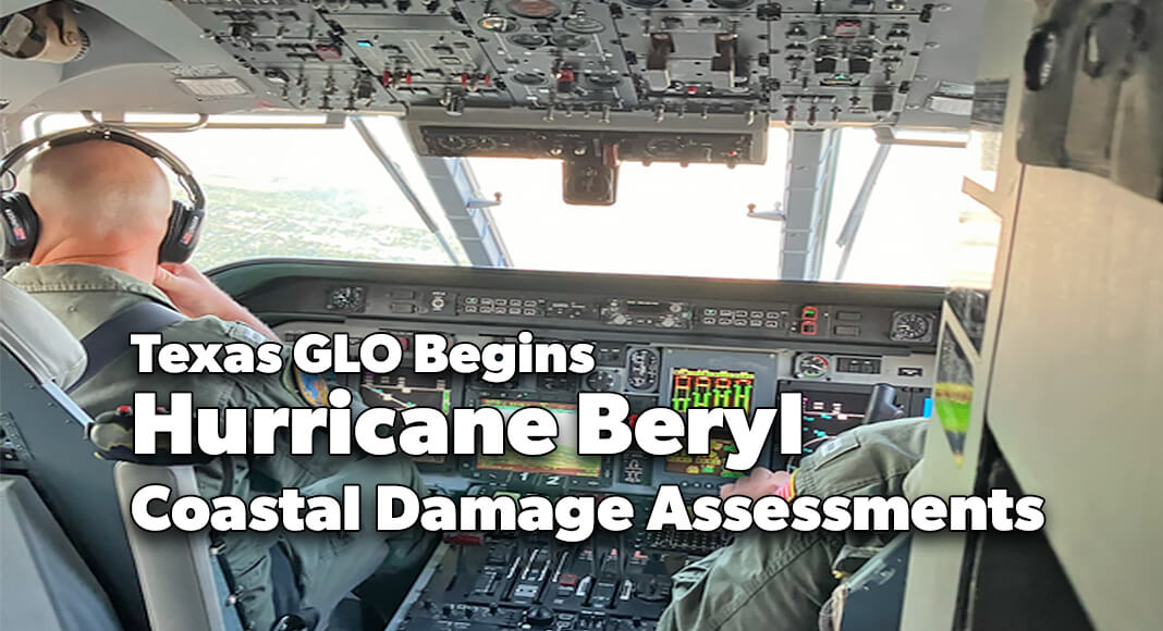
AUSTIN – Texas Land Commissioner Dawn Buckingham, M.D. announced that the Texas General Land Office’s (GLO) and Oil Spill Prevention and Response (OSPR) team is beginning to conduct damage assessments as Tropical Storm Beryl, which made landfall near Matagorda County as a Category 1 hurricane before weakening, passes north away from the Texas Coast.
“The Texas General Land Office’s Oil Spill Prevention and Response (OSPR) team stands on call 24/7, to protect our coast and ensure oil stays out of Texas coastal waters,” said Commissioner Buckingham. “The GLO’s response team is monitoring for oil spills in coastal waters as well as damages to critical infrastructure and other impacts. Residents in all communities impacted by Beryl can also help report local damages using the Individual State of Texas Assessment Tool (iSTAT) at damage.tdem.texas.gov.”

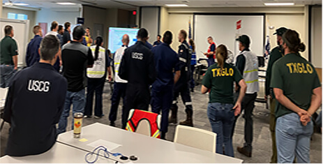
The damage assessments will be conducted by vessel, vehicle, and air in coordination with the U.S. Coast Guard. Patrol teams will conduct damage assessments along coastal shorelines in impacted areas to identify any emergency needs, pollution or potential threats (including sunken or displaced vessels), disruption to the marine transportation system such as missing channel markers or submerged debris in shipping lanes, damage to structures, accessibility, utilities, debris documentation, and erosion/accretion. Additionally, the GLO’s Debris Removal Unit is coordinating with local partners to assess storm debris and recommend potential removal strategies as needed.
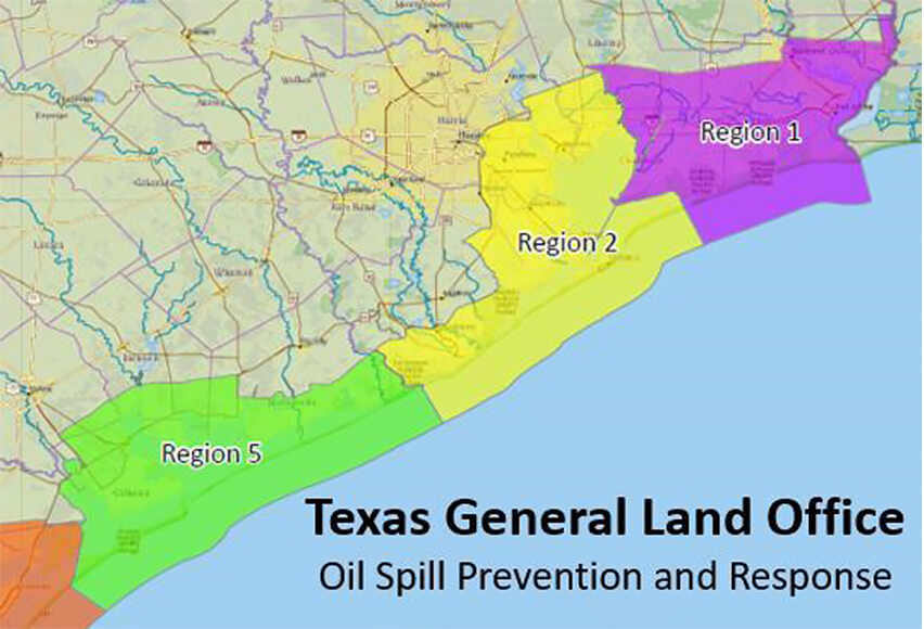
The GLO has activated assessment teams in OSPR Regions 2, 5, and 1, which were primarily impacted. Strike team members from the other regions are deploying north to assist with damage assessments and provide operational support. GLO response teams have already completed rapid area assessments in the Seadrift, Port O’Connor, Port Lavaca, Point Comfort, Clear Lake, Bay Port and Houston Ship Channels areas and the Palacios harbor/turning basins. Oil Spill Regional Director Jeffrey Davis also participated in an overflight from Matagorda County, to Trinity Bay and through the Galveston and Houston Ship Channels as well.
About the GLO’s Oils Spill Prevention and Response Division
When disaster strikes, GLO response teams go into action, working to contain spills and protect coastal resources. With a large array of pre-staged equipment, as well as certified cleanup contractors, GLO responders are immediately on site to assist with cleanup efforts and mitigate impact. The Texas Oil Spill Planning and Response TOOLKIT is the most comprehensive oil spill preparedness and response tool available, providing ready access to contingency plans and environmental data, including TABS, the GLO real-time offshore spill tracking system that provides instant data to monitor spills and establish trajectories.


