Texas Border Business
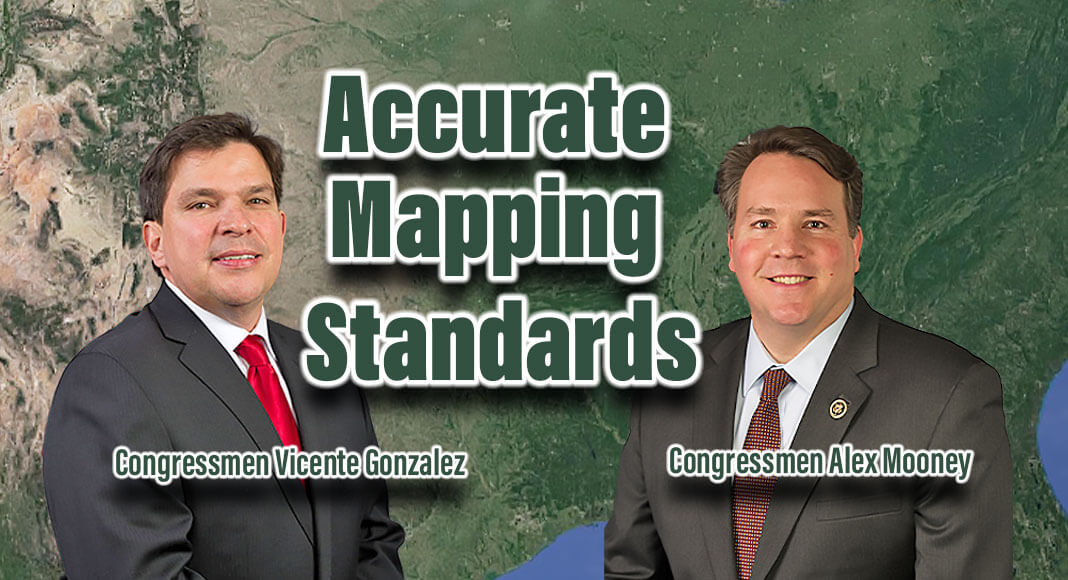
WASHINGTON, DC – Congressmen Vicente Gonzalez (TX-34) and Alex Mooney (WV-02) introduced H.R. 2568, the Improvement of Mapping, Addresses, Geography, Elevation and Structures (IMAGES) Act of 2023. This bipartisan legislation would include property level detail in flood maps, so that individuals as well as governments can know with certainty their risk and proactively prepare for natural disasters.
The IMAGES Act will provide accurate mapping standards within the National Flood Insurance Program (NFIP) which is regulated by the Federal Emergency Management Agency (FEMA).
“South Texas is no stranger to hurricanes, storms and flooding, making need for flood mapping reform more pressing than ever.” said Congressman Gonzalez. “As hurricane season ramps up, it is imperative that we pass legislation like the IMAGES Act to equip our coastal communities and those historically impacted by flooding, the information to invest in long-term flood prevention. Complete and accurate flood maps are fundamental to protecting residential and commercial property in South Texas and many other at-risk areas across the country.”
“The IMAGES Act contains important mapping reforms that will make flood maps used for the National Flood Insurance Program more accurate. This is a needed improvement to make the program more efficient and effective,” said Congressman Mooney.
“The IMAGES Act will provide critical flood risks assessment which is vitally important to the protection of the public through flood mapping reform accuracies and strengthening the United States Geological Survey (USGS) National Streamflow Information Program. Real-time mapping data feeds between Federal Emergency Management Agency (FEMA) and USGS, combined with census data, can provide first responders information for life saving activities during flood emergencies. The National Society of Professional Surveyors (NSPS) highly commends Representatives Vicente Gonzalez and Alex Mooney for their leadership on the mapping reforms included in the Act,” said Davey Edwards, PhD, RPLS LSLS CFedS, 2023 president elect of the National Society of Professional Surveyors (NSPS), Director of Surveying for Baseline | DCCM (a Houston based surveying and mapping company) and professor of surveying at Texas A&M University – Corpus Christi.
“The provisions of the IMAGES Act will improve the accuracy and accessibility of critical federal datasets that inform flood-hazard mitigation policies. Businesses, private homeowners, governmental planners, and first responders will all benefit from the enhanced data collection and inter-agency coordination that this legislation will enable. The National Society of Professional Surveyors (NSPS) endorses passage of the IMAGES Act as an important development of the nation’s technical resources, and NSPS gratefully recognizes Congressmen Alex Mooney and Vicente Gonzalez for their leadership on this pressing issue,” said Kevin Brockett, PS, PLS; West Virginia Director for the National Society of Professional Surveyors (NSPS); Professional Land Surveyor in Morgantown, West Virginia.
“The mapping reforms in the IMAGES Act recognize professional services and technology applications that will improve the quality, accuracy, and utility of FEMA flood insurance rate maps (FIRMs). The initiatives Representatives Gonzalez and Mooney provided in this legislation will provide a positive return on investment, save tax dollars, and improve the program for the benefit of taxpayers and flood insurance ratepayers,” said John Palatiello, Founder of U.S. GEO.
Under the IMAGES Act, the NFIP will continue to reform to create a data set that includes rate maps containing address information and allows for structure and zoning codes to align with flood insurance processing and emergency responses.
The bipartisan IMAGES Act of 2023 would:
· Strengthen the U.S. Geological Survey (USGS) to provide critical flood risk mapping and assessment;
· Update real-time data feeds utilized by affected agencies;
· Require qualification based selection (QBS) contracting to be utilized for all surveying and mapping services.
More information on the bill can be found here.


