


Texas Border Business

Texas Border Business
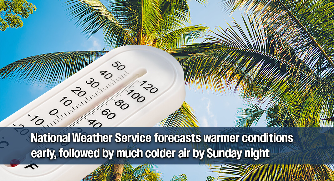
The Rio Grande Valley is expected to see a mix of warm, unsettled weather followed by a sharp cold front between Friday, Jan. 23, and Monday, Jan. 26, 2026, according to forecasts from the National Weather Service.
Forecast data from the National Weather Service indicates that Friday will be mostly cloudy with warm temperatures. Highs are expected to reach the lower 80s, with overnight lows in the mid-60s. South winds are forecast at around 7 to 16 miles per hour. The agency notes a slight chance of showers or isolated thunderstorms during the day, though widespread rainfall is not expected.

Conditions remain similar on Saturday, with daytime highs again in the low to mid-80s and continued south winds. The National Weather Service reports a continued slight chance of rain, along with patchy morning fog. Rain chances remain low, generally around 20 to 30 percent, with no significant accumulation expected.
A strong cold front is forecast to move through the region late Saturday into Sunday, bringing a significant change in conditions. According to the National Weather Service, temperatures on Sunday are expected to fall sharply, with daytime highs only reaching the lower 50s. Overnight lows are forecast to drop to near or below freezing in parts of the Valley. North winds are expected to increase behind the front, contributing to colder wind chill values.
By Monday, the cooler air mass is expected to remain in place. Forecasts call for mostly sunny to partly cloudy skies, with highs near 50 degrees and lows in the mid-30s. The National Weather Service notes that dry conditions should prevail, but cold overnight temperatures may pose a frost risk in some areas.
The Texas Division of Emergency Management has noted the arrival of colder air across South Texas during this period and advises residents to monitor local forecasts for potential cold weather impacts. While freezing precipitation is not expected in the Rio Grande Valley, officials emphasize that temperatures will be significantly colder than earlier in the week.

All forecast information is based on data from the National Weather Service and other federal weather monitoring agencies, which continue to update conditions as the system approaches.