


Texas Border Business

Texas Border Business
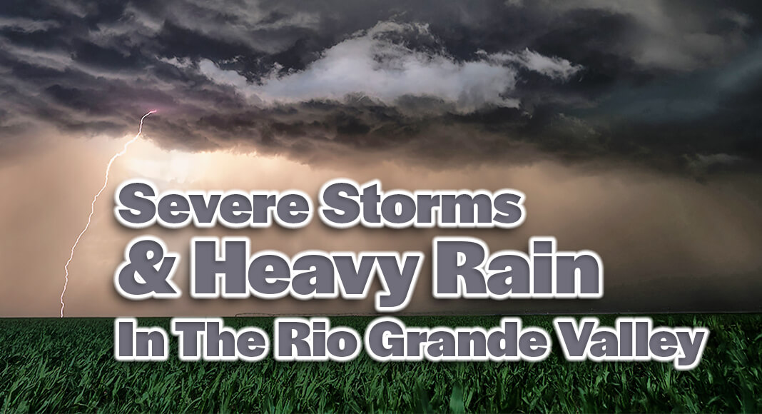
The Rio Grande Valley is bracing for several days of potentially dangerous weather, with heavy rainfall, strong winds, and the threat of severe thunderstorms expected to affect the region beginning Thursday, March 27, 2025. According to forecasts from the National Weather Service at weather.gov, a storm system moving in from northern Mexico is expected to bring widespread thunderstorms, some of which may turn severe.
The most immediate concern is the potential for flash flooding across several counties, including Zapata, Starr, Jim Hogg, Brooks, and Hidalgo. The weather service warns that these areas could receive significant rainfall in a short period, leading to hazardous road conditions and rising water levels in low-lying areas. Motorists are urged to use caution and avoid flooded roads.

Thursday’s forecast for the lower Valley calls for cloudy and windy conditions, with heavy thunderstorms likely throughout the day. The high temperature in Brownsville is expected to reach 81 degrees Fahrenheit, with a low of 72 overnight.
By Friday, March 28, the storms may begin to taper off in the morning, but breezy conditions and a chance of scattered thunderstorms will remain. Highs will climb to the mid-80s, offering brief relief before the next round of unsettled weather.
The weekend will bring warmer temperatures, with highs reaching into the upper 80s and low 90s. Saturday and Sunday are expected to be partly sunny and humid, with gusty winds developing during the afternoons. While the chance of rain diminishes over the weekend, humidity levels will remain high, adding to the discomfort.
Looking ahead to early next week, more thunderstorms are possible on Tuesday, April 1, particularly in the morning. The National Weather Service notes that some of these could be accompanied by gusty winds and heavy downpours. Conditions are forecast to stabilize by midweek, with abundant sunshine and temperatures in the low 90s by Wednesday, April 2.

Residents across the Valley are urged to stay informed through weather.gov and local emergency channels. The National Weather Service emphasizes the importance of preparedness, especially for those living in flood-prone areas. Emergency kits, updated weather alerts, and evacuation plans should be reviewed and ready in case conditions worsen.
As this system progresses, the impact on travel, agriculture, and outdoor activities could be significant. Continued monitoring and timely response to warnings will be key to staying safe in the days ahead.